Tuesday, July 31, 2012

The Long Loop


A special thanks to my new sponsors:

Nancy + Jade Segreto
And
Terry Laskey
First Leg
Wow that was a long hike. My Mom and I hiked the Hunger Pinnacle loop, which was about 7.3 miles. We left one car in the pinnacle parking lot and drove the other to Hunger. Where we started our adventure by hiking up the Hunger trail. It is a relatively challenging hike and pretty steep. 

Right under the clouds
 
Vermont Green


While hiking up, we met some great people, Pam and Terry, and chatted with them at the summit while we rested our legs to begin the next stage. The Skyline Trail was much more primitive than the Hunger trail. I could tell we were the first ones on it, because we kept walking through spider webs.
Luckily about half way down the trail, we passed a group heading in the other direction so no more spider webs. The path would definitely have been easier if it had not rained the day before because it was very wet and muddy in places.


Moss Carpet 
Moss covered everything from rocks to dead trees. Everything was green.  Eventually we made it to the Pinnacle were we took a good lunch break to refuel before the last mile and a half back to our car. 


I think someone liked the hike.


Tuesday, July 24, 2012

Three Peaks


On the last day of vacation my dad and I decided to return to Acadia for one last hike before the seven-hour drive home. We made a loop hiking three peaks: Sargent , Gilmore and Parkman Mountains. In total the loop was 5.7 miles.

Bridges

We approached Sargent on the Giant slide trail, which began as a path through the forest with long row of bridges. It then started going up a stream and I finally understood how the trail got its name. I needed to clamber over and under large boulders and rocks, which made it quite interesting and fun.

Giant Slide Trail
 After that we took the North Ridge trail and gained the summit of Sargent. Slowly the trees thinned and then we popped out on the ridge and got a gorgeous view of Somes Sound. The summit was covered with blueberry bushes, a perfect sweet snack. Many trails converge at the summit the Sargent. The South Ridge Trail looked extremely cool so I decided that next summer I will hike it.

Sargent Summit

YUMMY!

We left Sargent via the Grandgent trail, which was steep, and a little trickier to navigate. Next thing you know we were headed up again as we continued on to Gilmore Peak. It was fun going up and down many peaks instead of just one. 

Somes Sound
After a quick stop on Gilmore, we headed for the top of Parkman, took in one last view of Acadia National Park and the Atlantic Ocean, and then we hiked down Parkman, connected back to the Giant slide trail and finally back to the car.
Heading Home

First Acadia Hike

The Beginning

Acadia National Park is one of the most beautiful places; there is biking, hiking and all kinds of other activities. My nine year old cousin Vincent, my Dad and I hiked Dorr mountain. We hiked the Ladder Trail, which Vincent decided to rename the Stairs Trail since there were about one thousand steps and two ladders.


The first stage of the hike was basically straight up. Vincent bounded up and I did my best to keep up. He is a crazy little hiker.


The top was well worth it; you could see the ocean and the harbor. The sea breeze was really nice and you could smell the salt in the air. We enjoyed some Swedish Fish (a hiking tradition), cheese and crackers. 

Vincent and I at the Summit
The trail we descended on was much more mellow. We walked along the ridge as it slowly sloped down. We walked on mostly smooth rock.  There were cairns to follow and we were surrounded by plants which grew in interesting ways because of how exposed they were. 

One of the many cairns.
When we reached the base we turned onto another path that led back to the car. The dirt path would have been boring because it was flat and smooth, but it had 71 bridges on it (Vincent counted them all). We also walked by a lovely pond with a beaver dam. It was a challenging hike up but a lot of fun.

Beaver Pond

Monday, July 23, 2012

Maine

 
Thank you to my new sponsors:

The Bruno/Seivwright family

The Merrill Family

For the last ten days I have been in Maine at a family gathering. I went on three wonderful hikes while I was there but was not able to update the blog because I had no Internet connection or cell service. One of the hikes was very close to Toddy Pond where we stayed. I hiked Blue Hill many times with many different relatives including my cousins Libby and Alice my Grandparents, Granddaddy and Mary, my sister and my parents Dave and Eva. Sadly I did not get any pictures. One of the days we hiked, the trail maintenance crew was working hard to maintain the path. It reminded me of how much work goes into keeping the trails safe an din good condition. I want to give a special thanks to all the volunteers who help.


Tuesday, July 10, 2012

Highest Peak in Vermont

 
Thank you, to my new sponsors:

Donna and Jim Barton
Mike and Diane Leach
James Lockhart
View of the Summit from Nosedive.
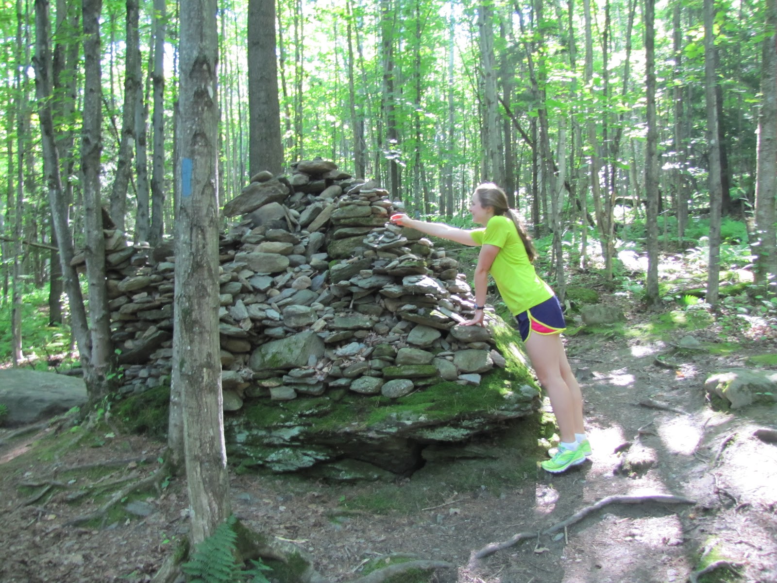
What a day, I hiked Mount Mansfield with my best friend Liam and Pippin. Our original plan was to hike up Hell Brook, cross the Mount Mansfield Ridge and go down the Haselton Trail. We decided to park in the Stowe Mount Resort Gondola Parking lot where the Haselton Trail empties out. We then proceeded to walk along the road into Smugglers Notch to find the Hell Brook trailhead. We started up the first trailhead we found.
Gondolas
The hike up was beautiful but rocky and challenging in places. Pippin, of course, flew right up no problem. Most of the trail wound through the woods occasionally crossing a stream. It was pretty steep in many areas and my legs were definitely burning. Both Liam and I were starting to wonder if the trail would ever end when we reached a little sign that said 0.6 miles to summit. The next part of the hike was very cool we popped out of the woods into the alpine zone. Soon we came to a fork in the road one arrow pointed to the Hell Brook trail and the other the summit. It didn’t take us long to conclude that we were not on the trail we were supposed to be on, but there was only one choice from there; to continue on to the summit. There was a lot of rock scrambling after that and even Pippin needed a lift once in a while. 

View of Stowe Mountain Resort from Trail
The view was well worth it, it was a beautiful day. To the west we could see Lake Champlain and the Adirondacks in New York State. To the east, far in the distance, you could make out the White Mountains in New Hampshire. It definitely gives you a perspective of how small Vermont is. 


View of Lake Champlain and the Adirondacks.
Liam, Pippin and I at the highest point in Vermont.
After admiring the view from the highest point in Vermont and enjoying a bite to eat we continued along the ridge line. It is almost always breezy and cool up there even when it is hot in the valley. Don’t forget a windbreaker. Many people of all ages were hiking the ridge line. It is very accessible because you can drive up the toll road and walk the ridge with very little elevation change. 
Liam and Pippin leading the way.
We had better luck finding the Haselton Trail, which is on the Nosedive ski trail. The trail was long and steep and I was relieved when we finally saw the gondolas. When I got home I looked up the mileage for the Long Trail south which was the one we accidentally took. The loop totaled 6.5 miles. It was a great adventure but my legs are feeling it. 
Pippin tuckered out after the hike.
 
For More Information on the Mount Mansfield hike go to: http://home.earthlink.net/~ellozy/mt-mansfield.html

Saturday, June 30, 2012

Picturesque Pinnacle


Two more sponsors this week so I am up to ten.

Thank You:

Rusty Dewees
and
The Smith Family 

I was supposed to go to the gym this morning. But, it was so beautiful out I just could not force myself to workout indoors so I decided to hike the Pinnacle. Shhhh don't tell my trainer. 

Pippin and I at the trail head.

The Pinnacle is located just outside the town of Stowe Vermont. It has been my favorite hike since I was little. It is a great trail to play the game lava, which is when you pretend the ground is hot lava and you can only step on rocks, roots, and bridges. Even now I often find myself trying not to step on the ground. I hiked today with my Mom; luckily she hiked hard the day before and was sore so I could actually keep up. 


Pippin embraces his inner squirrel.
                                                                         
I was also joined by Pippin our little terrier mix. He probably covers three times as much as I do given the number of times he runs up and back or into the woods. The Pinnacle has a pretty impressive teepee and large cairn. 

 Adding a stone to the cairn
Teepee Time
The first mile or so of the hike is steep, but after you reach the vista it flattens out and even goes down hill in some areas. A nice break for the legs. The summit is fabulous because you end up on a little rock area above the trees that almost always has a refreshing breeze to keep the bugs at bay and cool you down. 

 Mom, Pippin and I at the summit.

More Information on the Pinnacle hike go to: http://www.gostowe.com/hiking 


Saturday, June 23, 2012

Second Hike

 
What an exciting week I am extremely happy to say I have 8 new sponsors.

Thank you:
Nan Thompson
David Schwartz
Lulu and Dave Leveille
Grammy Bee and Frank
Granddaddy and Mary
Auntie Joan
Genevieve and Michael Borushok
The Kyles

 Check out the sponsor page anytime to see a full list of sponsors. 

Trail-head

Today I hiked Mount Pisgah in Northern Vermont with my Dad. After a week of blistering heat today was beautiful. There was a refreshing breeze and the clouds prevented the sun from baking me. The hike was about 2.5 miles up a well-maintained trail. There were some great bridges to cross and rock staircases to climb.  It was amazing and it is one of my favorite hikes.


 Enjoying Chocolate 

There were little vistas to check out the view; they certainly gave me the stomach drop feeling. Sadly, when we reached the top, clouds surrounded us, so I had a great view of nothing. However a delicious peanut butter and jelly sandwich and piece of Swiss chocolate made up for it. After refueling we headed down, when it began getting stormy we hustled. Luckily, we beat the rain to the car.

It was an extremely fun hike and I highly recommend it. For more information on it go to: http://www.hikenewengland.com/Pisgah040605.html